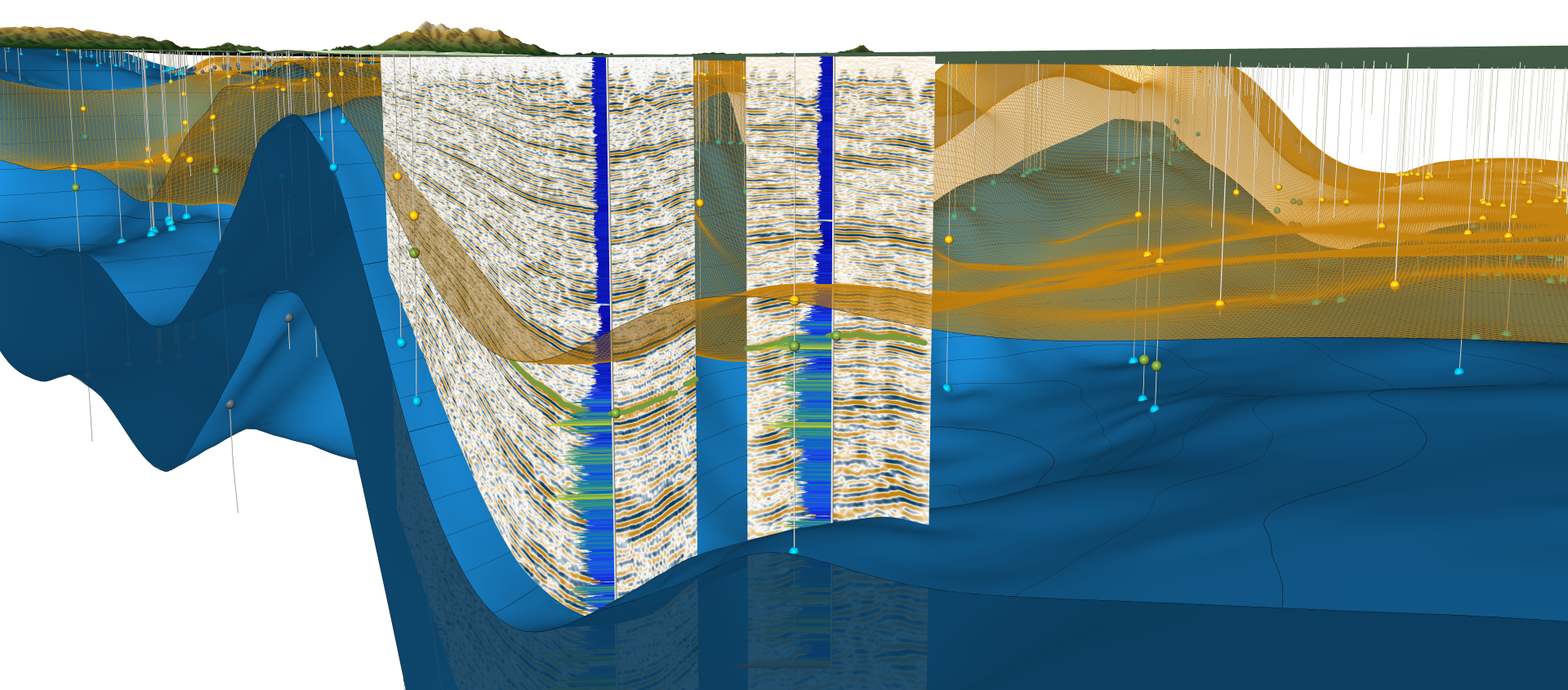
 Example of a three-dimensional subsurface geologic model.
Purpose
Subsurface Geologic Modeling integrates surface and subsurface data, including geologic maps, geophysical well logs, stratigraphic correlations, seismic data, and other geoscientific datasets, to develop regional or local interpretations of subsurface geologic conditions.
These methods and approaches help characterize the distribution, geometry, and properties of geologic units and structures that influence groundwater resources, geologic hazards, energy and mineral resources, infrastructure planning, and geologic carbon sequestration potential.
Subsurface geologic models and related products are interpretation-based representation of available data and are intended to provide geologic context and a scientific framework information. The intended use, scale, limitations, and level of interpretation may vary by project and data product.
Definitions
Suitability Analysis: A suitability analysis combines favorable and unfavorable parameters to produce a comparative ranking for how suitable a site may be for long-term geologic storage of injected carbon dioxide over the required time period, which may be indefinite or permanent. Suitability analyses may be conducted at different scales and levels of detail depending on the regional geologic conditions and project needs.
The CGS suitability analysis approach starts with the development of 3D geological framework models as the basis for developing derivative suitability models depicting sequestration opportunities and risks. These models include Preliminary and final Subsurface Geologic Models, PSGM and SGM, respectively.
PSGM - Preliminary Subsurface Geologic Model: The CGS Preliminary Subsurface Geologic Model series provides preliminary geologic interpretation products that may include 3D models, maps, databases, and reports derived from available surface and subsurface data. These products present early interpretations of ongoing subsurface modeling efforts and may be updated as additional data become available and interpretations evolve.
SGM - Subsurface Geologic Model: The CGS Subsurface Geologic Model series provides more developed geologic interpretation products, including 3D models, maps, databases, and reports derived from available surface and subsurface data. Compared to PSGMs, SGMs generally incorporate more comprehensive datasets, additional quality review, and more mature geologic interpretations to support subsurface resource and hazard evaluation within the state.
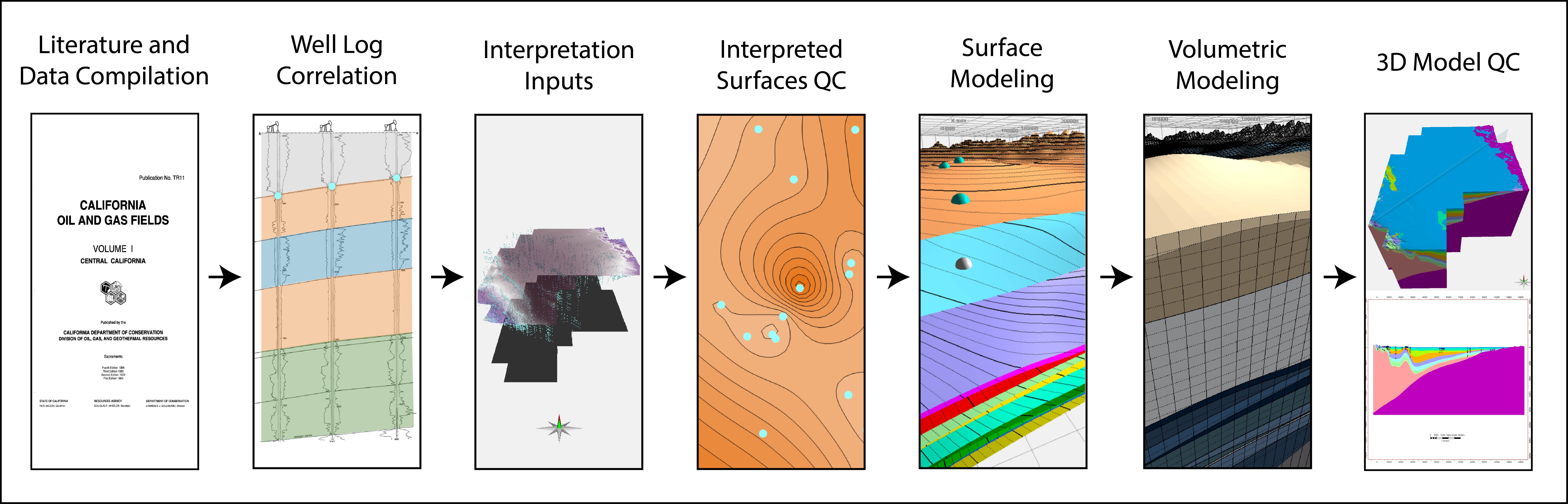 Example workflow for developing a subsurface geologic model.
Data Product Descriptions
PSGM and SGM data products vary by project objectives, available data, and geologic setting, and may include the following:
Subsurface Data and Well Information
- Well lists and locations - Inventories of wells used to support subsurface interpretation and model development.
- Digitized geophysical well logs - Standardized well log data used to correlate geologic units and characterize subsurface conditions.
Geologic Interpretation Products
- Formation tops and stratigraphic picks - Interpreted formation tops and subsurface contacts used to define geologic framework and unit extent.
- Well log cross-sections - Visual correlations between wells used to illustrate subsurface stratigraphy and geologic relationships.
- Structure contour maps - Maps showing the elevation or geometry of geologic surfaces to help characterize basin architecture and structural features.
- Isopach contour maps - Maps depicting formation thickness to support interpretation of depositional patterns and subsurface variability.
3D Modeling and Spatial Data
- 3D geologic models and geodatabases - Digital representation of subsurface geology used to visualize geologic framework and support spatial analysis.
- Rock property maps - Spatial interpretations of subsurface characteristics such as porosity and permeability.
Supporting Documentation
- Metadata - Documentation describing datasets, methods, assumptions, and limitations.
- Reports - Technical summaries describing interpretations, methodologies, and project findings.
Explore Our Work
CALIFORNIA GEOLOGY Article
CALIFORNIA GEOLOGY magazine recently showcased the project in an article titled "Mapping the Subsurface for Geologic Carbon Sequestration". Click here or on the image below to read the article.
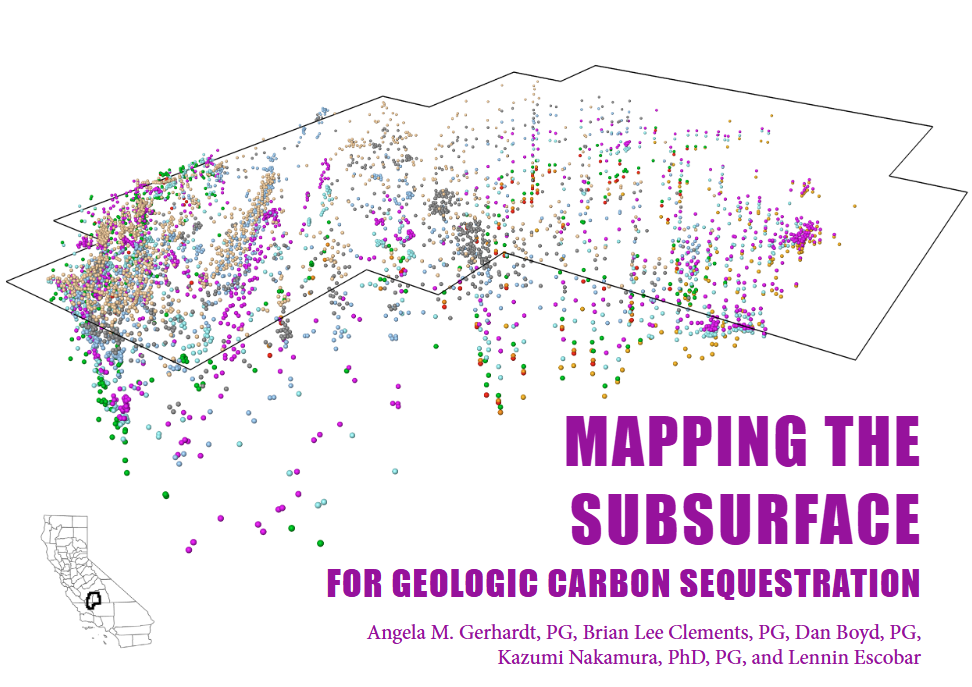 CALIFORNIA GEOLOGY magazine article on geologic carbon sequestration.
Web page by:
California Geological Survey - Regional Geologic and Landslide Mapping Program
Last modified: 7/14/2026
