The El Niño-Southern Oscillation (ENSO), consisting of the El Niño and La Niña phases as well as neutral conditions where neither are present, can affect rainfall patterns in California, and thus landslide impacts to California communities.
What is El Niño and how does it impact California’s weather?
El Niño is the “warm phase” of the El Niño-Southern Oscillation and features warmer than average ocean surface temperatures off the coast of Ecuador and Peru in the equatorial eastern Pacific Ocean. The other two phases are La Niña (“cool phase”) and neutral. The changes in winds, ocean surface temperatures, and location of thunderstorms in the equatorial Pacific region associated with El Niño can influence the position of the jet stream and alter storm tracks at mid-latitudes, such as the U.S. West Coast and California, including the frequency and characteristics of storms. Historically, the presence of El Niño conditions tilts the odds in favor of wetter than normal precipitation across the southern third of the state. The relationship between El Niño and cool season precipitation is weaker in the central and northern parts of the state.
The NOAA Climate Prediction Center provides a monthly update on ENSO conditions at https://www.cpc.ncep.noaa.gov/products/analysis_monitoring/enso_advisory/ensodisc.shtml.
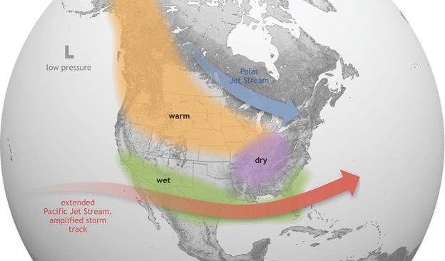 Figure 1. El Niño causes the Pacific jet stream to move south and spread further east. During winter, this leads to wetter conditions than usual in the southern U.S. and warmer and drier conditions in the north.
Source: NOAA National Ocean Service "What are El Niño and La Niña?" (https://oceanservice.noaa.gov/facts/ninonina.html).
How have El Niño events affected California landslide activity in the past?
Landslides can occur during any ENSO phase (El Niño, La Niña, or neutral), provided sufficient rainfall has occurred to saturate rock and soils. As conditions tilt the odds towards above normal precipitation for southern California, that region may see increased landslide activity in El Niño winters. For other parts of the state, the relationship between El Niño conditions, enhanced precipitation, and landslide activity is weaker.
The strong El Niño event of 2023-2024 resulted in well above average precipitation in coastal southern California and slightly above normal precipitation in coastal regions of northern California. Interior regions of the state, including the Sierra Nevada and southeastern deserts, experienced below normal precipitation. Landslides were reported across the state during the winter and spring 2023-2024 seasons, though were more widespread and impactful in southern California (Figure 2).
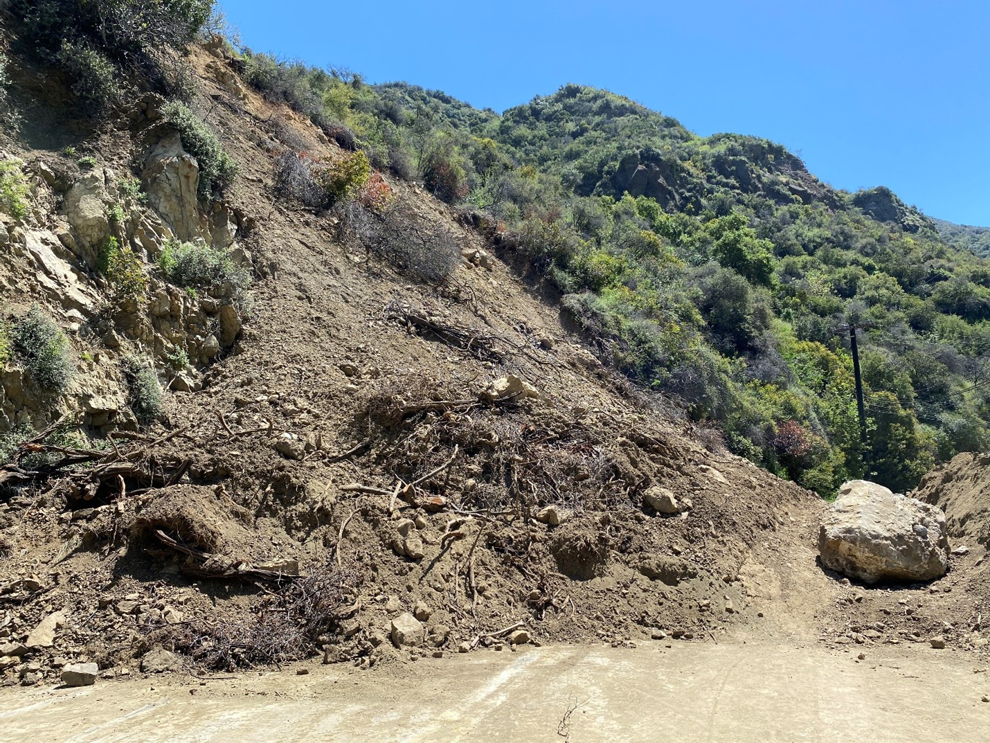 Figure 2. Landslide blocking Topanga Canyon Boulevard (State Route 27) in southern California following heavy rainfall during the winter of 2024.
Photo credit: K. Townsend, CGS.
The strong El Niño events of 1982-1983 and 1997-1998 featured well above-normal precipitation statewide. These years were also associated with widespread landslide impacts across the state (Figure 3). In contrast, during the strong El Niño event of 2015-2016, the northern two-thirds of the state reported near-normal precipitation and the southern third of the state experienced below normal precipitation. Varied precipitation outcomes have been observed with weak-to-moderate El Niño years as well.
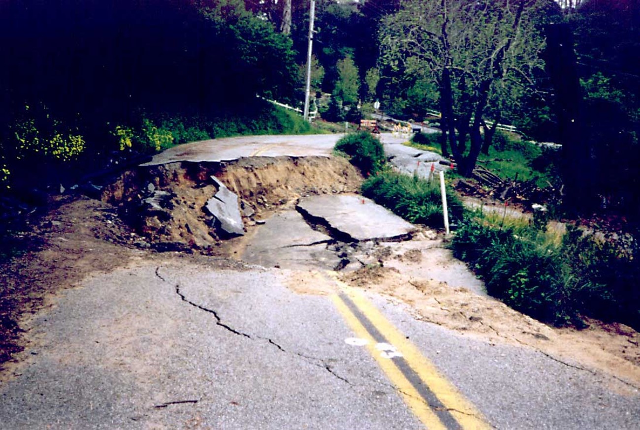 Figure 3. Roadway damage in Santa Cruz County caused by rain-induced landsliding during the strong El Niño event of 1997-1998.
Photo credit: R. Baum, USGS. Source: USGS "Pamphlet to accompany Miscellaneous Field Studies Maps MF-2325-A-J" (https://pubs.usgs.gov/mf/1999/mf-2325/).
Impactful landslides have also occurred across California in La Niña or ENSO-neutral years as well. In January and February 2017, a weak La Niña winter, shallow landslides damaged homes and resulted in road closures in the San Francisco East Bay region (Figure 4).
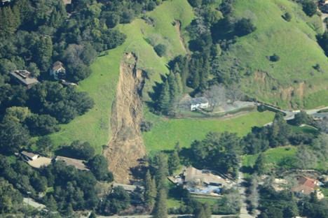 Figure 4. Shallow landslides in the San Francisco East Bay region during the weak La Niña winter of 2017.
Photo credit: B. Collins, USGS
Steep slopes impacted by recent wildfires may be susceptible to postfire flash floods and debris flows. Debris flows are fast-moving slurries of water, rock, soil, vegetation, and even boulders and trees that can cause major damage to life, property, and infrastructure (Figure 5).
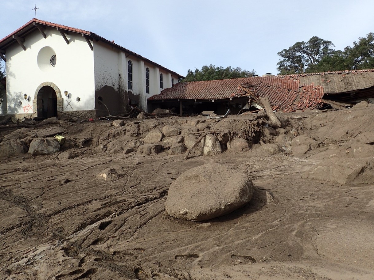 Figure 5. Impacts of postfire debris flows in Montecito, California, on January 9, 2018.
Photo credit: USGS
Postfire debris flows are typically triggered by short bursts (less than 1 hour) of high-intensity rainfall, like thunderstorms. Antecedent rainfall—or pre-wetting of soils from earlier rainfall events—is not required to generate postfire debris flows; they can occur with the first heavy rainfall following a wildfire. These high-intensity rainfall events can happen in winter storms or in summertime thunderstorms and can be very localized. Large-scale climate signals such as ENSO are not useful predictors of high-intensity rainfall. Postfire debris flows are likely to occur in a given year whether we are experiencing an El Niño, La Niña, or ENSO-neutral condition. It is important to monitor weather forecasts if in an area where there are postfire debris flow concerns. More information on postfire debris flow hazards is available at the CGS Burned Watershed Geohazards page (https://www.conservation.ca.gov/cgs/bwg).
What preparations can be made for El Niño events?
Our understanding of El Niño and its impacts on California precipitation is limited to a small number of events—less than 30 since 1950—with only four very strong events. Precipitation outcomes in California are driven by many factors beyond El Niño conditions.
Given the uncertainty in El Niño (or La Niña or ENSO-neutral) impacts on California weather, it's important for Californians to be prepared for a range of precipitation outcomes during winter and spring. If rainfall trends above average, or if multiple storms occur back-to-back, the risk of overly saturated rock and soil on steep slopes increases the risk of landslides and debris flows. Please refer to the
CGS Landslides page (https://www.conservation.ca.gov/cgs/landslides) for more information about landslides and landslide hazards in California.
Seasonal to sub-seasonal temperature and precipitation outlooks are available from the NOAA Climate Prediction Center at https://www.cpc.ncep.noaa.gov/products/predictions/WK34/.
Weather forecasts are available from the National Weather Service at https://www.weather.gov/wrh/.
Web page by:
California Geological Survey - Regional Geologic and Landslide Mapping Program and
Burned Watershed Geohazards Program
