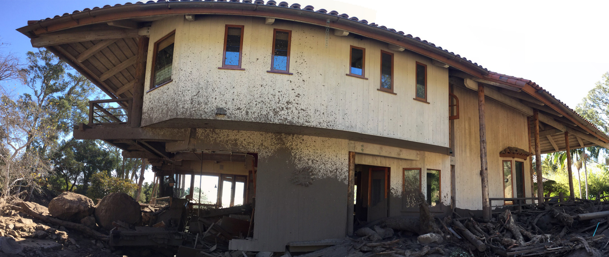
 Above: A home damaged by the January 9, 2018 debris flow event in Montecito, California. The event was triggered by heavy rain on the Thomas Fire burn area above Montecito. This home is located near Buena Vista Creek. Photo credit: Brian Swanson, CGS.
What is a Debris Flow?
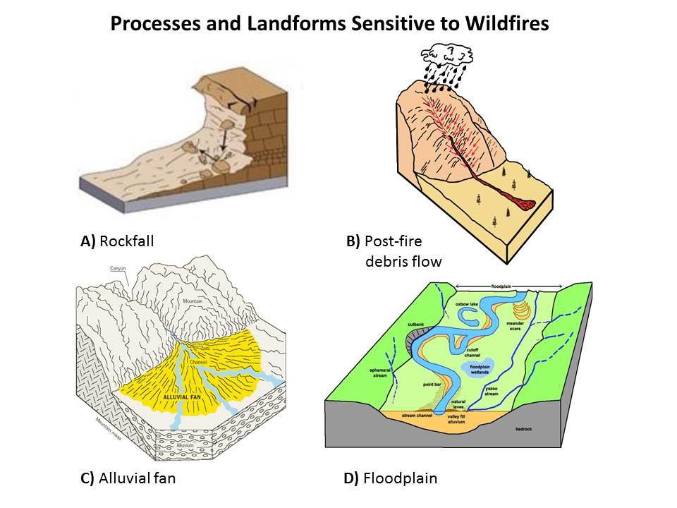 A debris flow is a type of geologic hazard that is often identified in the news as a mudflow or mudslide. It is a fast-moving slurry of water, rock, soil, vegetation, and even boulders and trees. Debris flows are triggered by short, intense periods of rainfall, and can cause serious property damage and loss of life.
Californians who live on or below hillsides should be aware that the rainy season increases the possibility of flash floods and debris flows, especially on slopes burned by recent wildfires. Severely burned soils can become water-repellent. Rainfall that would normally be absorbed by vegetation and loose material on the ground will instead quickly run off. That means much less rainfall is required to produce a flash flood, and the potential for a debris flow increases.
The January 2018 Montecito debris flows, in an area of Santa Barbara County burned by the Thomas fire in December, caused at least 21 fatalities, damaged or destroyed more than 500 structures and seven bridges, and shut down Highway 101 for two weeks. California Geological Survey scientists estimated the Montecito debris flows were up to 30 feet deep, traveled at speeds of 10-15 miles per hour, and were capable of carrying boulders as large as a tow truck.
How to Prepare for a Debris Flow or Flash Flood
