Informed land-use decisions require information about California’s geologic and seismic hazards. Most local governments and many state agencies lack expertise or information about such hazards and, therefore, must rely on the California Geological Survey to provide such information. Emergency response officials require geologic hazards information to effectively and efficiently plan for future geologic events and develop response activities to such disasters.
The primary geologic hazards of concern in California are:
- Seismic hazards related to
earthquakes, including
ground rupture/faulting,
liquefaction,
strong motion, and
tsunami.
-
Landslides of all kinds, including seismically-triggered landslides, debris flows, mud flows, and rock falls.
-
Mineral hazards such as asbestos, radon, and mercury.
- Volcanic hazards, such as ash fall, lava flows, lahars, pyroclastic flows, toxic gases, and volcanic landslides.
CGS identifies where significant geologic hazards exist or are likely to exist so that informed land use and emergency response planning decisions can be made. These decisions will reduce or mitigate the dangers to life, property and public safety resulting from such hazards.
CGS Geologic Hazards Programs and Projects
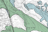
The Seismic Hazards Program delineates areas prone to ground failure and other earthquake-related hazards including soil liquefaction (the failure of water-saturated soil), earthquake-induced landslides, surface fault rupture, and tsunami inundation.
The program maps known seismic hazards, and designates zones of required investigation that identify areas where a site-specific hazard study and report with recommended countermeasures must be completed before a work permit is approved to construct buildings.
For
tsunami hazards, CGS works closely with CalOES and the Tsunami Research Center at the University of Southern California to produce statewide tsunami inundation maps and preparedness information for California. CGS is also the Scientific Representative for California on the National Tsunami Hazard Mitigation Program Coordinating Committee, a state and federal cooperative responsible for developing policies and standards for tsunami mitigation efforts in the United States and its territories.
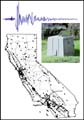
The California Strong Motion Instrumentation Program (CSMIP) records the strong shaking of the ground and in structures during earthquakes throughout California. The measured ground strong shaking is used immediately after an event to assist in emergency response by agencies like
CalOES. Structural measurements are studied after events to analyze the performance of structures, with the goal of mitigating future earthquake impacts through improved building codes for safer, earthquake-resistant structures.
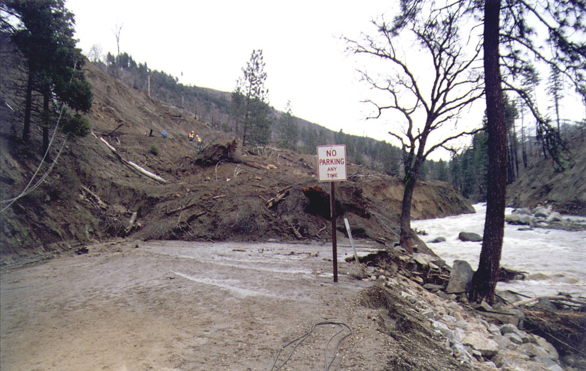
CGS provides maps and information on landslides, erosion, and sedimentation to help guide land-use decisions, to help preserve water quality and fish habitat, and to evaluate the severity of landslide hazards throughout California. CGS also provides technical input and advice to the California Governor's Office of Emergency Services (CalOES) during and immediately following major landsliding events, and immediately following major wildfires in anticipation of post-fire debris flows.
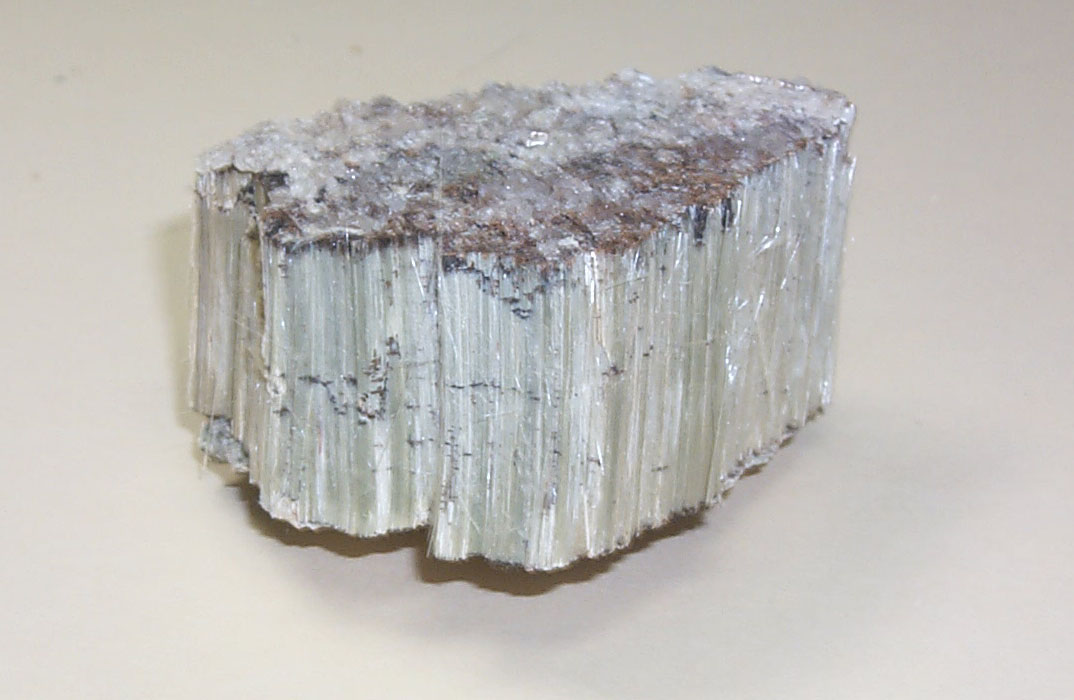
CGS provides maps, technical information and advice, and monitors activities about minerals-related environmental and public health issues such as naturally-occurring asbestos, mercury, and radon.
