Summary
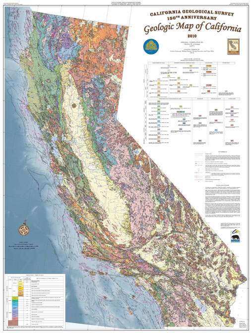
The 2010 Geologic Map of California and the 2010 Fault Activity Map of California were prepared in recognition of the California Geological Survey’s 150th Anniversary. Both are all-digital products built on the original compilations of C.W. Jennings published in 1977 and 1994. The digital version of the Jennings (1977) geologic map was released in 2000 (Saucedo and others, 2000) and serves as the base digital geologic data layer for the 2010 geologic map with additions and modifications described below. These editions remove, as much as possible, distortions in the previous digital versions that were inherited from the composite base map of the original printed versions.
Methodology
The 2010 Geologic Map of California includes modifications to the fault traces for consistency with the 2010 edition of the Fault Activity Map of California. Due to the complexity of the onshore geologic data depicted on the Geologic Map of California, it was not technically feasible to incorporate the detailed fault data in its entirety. A comparison of the datasets was made and numerous fault traces were replaced with simplified fault traces based on the new fault map. In addition, several faults that have been mapped since the compilation of the original geologic map were also identified and added, and traces no longer believed to be faults were removed. In general, the Quaternary faults shown in the onshore region of this map are intended to be a simplified representation of the faults depicted on the Fault Activity Map. Although the revision of faults in some areas necessitated modification of bedrock geology adjacent to those faults, the distribution of bedrock geologic units compiled by Jennings (1977) has otherwise not been modified.
Jennings (1977) simplified the depiction of Quaternary geologic units on the original map. As he put it: “various surficial deposits of Quaternary age are lumped into the unit ‘Q’.” Since Jennings’ work, subdivisions of these deposits have been found to have very different potential for liquefaction and for amplification of seismic shaking. Relative age of Quaternary alluvial fan deposits have also been found to correlate with potential for flooding. Since these units are important for evaluation of geologic hazards, the 2010 update of the geologic map includes a subdivision of Jennings “Q” into younger alluvium “Q” and older alluvium “Qoa”. In general, younger alluvium was deposited in Holocene time and represents the modern deposition in flood plains and on alluvial fans. Older alluvium is generally of Pleistocene age and represents depositional systems that are not currently active.
Availability
Printed posters (47¼ inches x 62½ inches) of the 2010 State Geologic Map of California are available for purchase through our Publications Sales Desk.
Web page by:
California Geological Survey - Regional Geologic and Landslide Mapping Program
