The goal of the Farmland Mapping and Monitoring Program (FMMP) is to provide
consistent and impartial data to decision makers for use in assessing nearly present
status, reviewing trends, and planning for the future of California’s agricultural land
resources. FMMP produces Important Farmland Maps, which are a hybrid of resource
quality (soils) and land use information. Data is also released in statistical formats that
are compiled within the biennial California Farmland Conversion Report.
A Brief History
The FMMP was established in 1982 in response to a critical need for assessing the
location, quality, and quantity of agricultural lands and conversion of these lands over
time. FMMP is a nonregulatory program and provides a consistent and impartial
analysis of agricultural land and land use changes throughout California. Creation of the
FMMP was supported by the Legislature and a broad coalition of building, business,
government, and conservation interests.
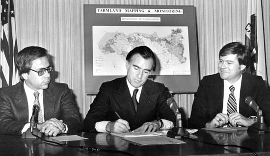
Signing of legislation creating the Farmland Mapping and Monitoring
Program in 1982. Left to right are Assemblyman Charles Imbrecht, Governor
Jerry Brown Jr., and Assemblyman Richard Lehman.
The first Important Farmland Maps, produced in 1984, covered 30.3 million acres (38
counties). Biennial farmland conversion data became available with the 1984-1986
Farmland Conversion Report. Data now spans more than 34 years (seventeen biennial
mapping cycles) and has expanded to 50.6 million acres as modern soil surveys were
completed by USDA. FMMP now maps agricultural and urban land use on nearly 98%
of the state's privately held land.
Other Information and Resources
