Wellstar - Public Resources

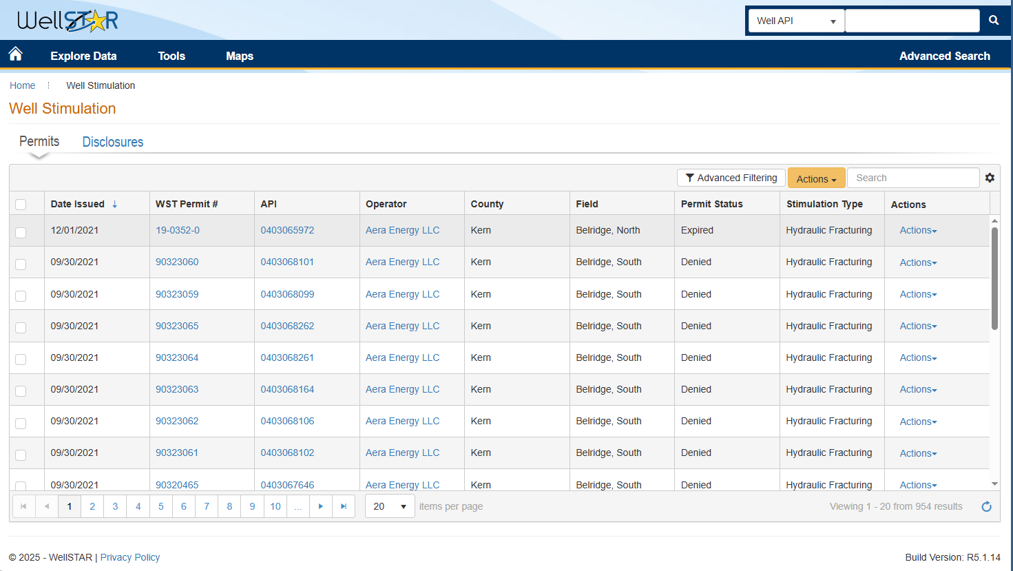
​​Well Statewide Tracking and Reporting System (WellSTAR) is the California Geologic Energy Management Division’s (CalGEM) electronic database.​

WellSTAR furthers CalGEM’s commitment to public safety and environmental protection by providing transparency, ease of use, and access to important, sortable data in a single portal. The release of WellSTAR ensures compliance with CalGEM’s Well Stimulation Treatment and Well Maintenance regulations, as well as other state and federal requirements.​

​​​​​​​​​​​​​​​​​​​​​​​​​​​​​​​​​​​​​​​​​​​Public Acces​s Link to WellSTAR

​​

​​The link above serves members of the public who are not representing a formal organization. If you are representing or wish to represent a formal organization, instructions are available on the WellSTAR–  Operators page​.​


Looking For Well Maps And Geographic Perspective?​  You might prefer our Well Finder Map T​ool. Well Finder interfaces with the WellSTAR database and is updated nightly. ​ ​​​​​​​

​​

Additional CalGEM Resources​

CalGEM Mapping Tools​​

  • Well Finder: ​​​ CalGEM's online mapping application ​to find and locate oil and gas wells and other types of related facilities throughout the state​.  Search by address, latitude/longitude, unique well number (also known as “API”), Public Land Survey System (PLSS) township/range/section, or by oil and gas field names.​​

  • GIS Mapping: Geographical Information System (GIS) mapping uses spatial (geographical) data to create information-rich maps that benefit understanding, analysis, and decision-making. A GIS system allows multiple categories of data to be selected for representation on a map.​​

Guides & FAQs

​​

  • CalGEM FAQs: Frequently Asked Questions about numerous CalGEM processes and 
  • Reference Guide​: Accessing Public Records via CalGEM Online Data


Permits/Reports/Forms/Files


CalGEM Resources