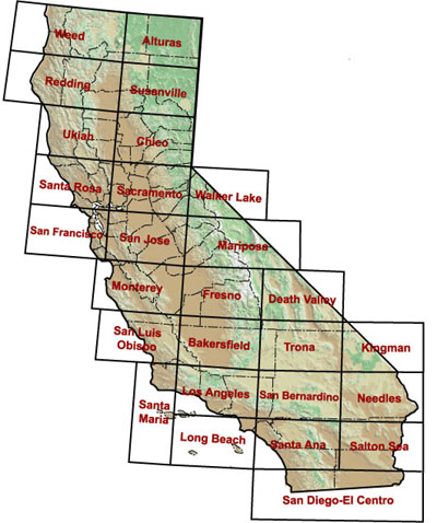
This index provides lists of selected geologic mapping references in California. In an effort to cover each 1:250,000-scale quadrangle with geologic mapping, the California Geological Survey (CGS) included references from graduate theses, unpublished maps, and Open-File Reports produced by the Division of Mines and Geology (i.e.
CGS prior to August 2006). It is designed to be used in conjunction with the data source indices published with the CGS' 1:250,000 - scale regional geologic map series, the 1:250,000-scale map sheets of the
Geologic Atlas of California, and
other indices to geologic maps.
THIS INDEX DOES NOT PROVIDE A PATHWAY TO VIEWABLE MAPS; TO VIEW MAPS, PLEASE VISIT OUR
REGIONAL GEOLOGIC MAPS PAGE.
Alturas |
Bakersfield |
Chico |
Death Valley |
Fresno |
Kingman |
Long Beach |
Los Angeles |
Mariposa |
Monterey |
Needles |
Redding |
Sacramento |
Salton Sea |
San Bernardino |
San Diego-El Centro |
San Francisco |
San Jose |
San Luis Obispo |
Santa Ana |
Santa Maria |
Santa Rosa |
Susanville |
Trona |
Ukiah |
Walker Lake |
Weed
