Geographical Information System (GIS) mapping uses spatial (geographical) data to create information-rich maps that benefit understanding, analysis, and decision-making. A GIS system allows multiple categories of data to be selected for representation on a map.
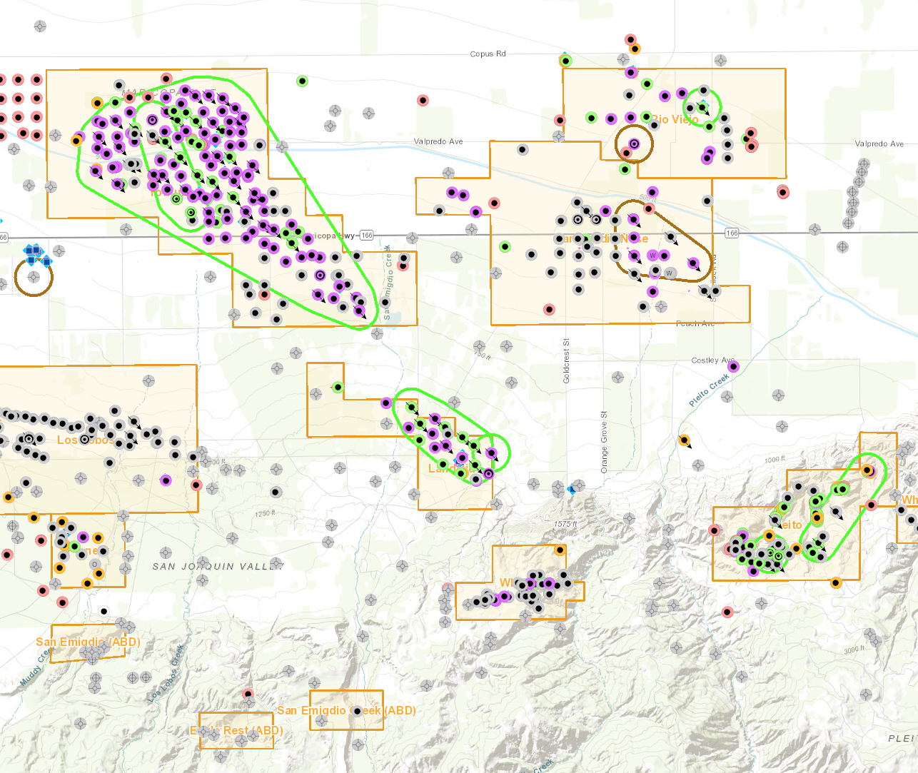
Oil and gas wells south of Bakersfield
GIS mapping is useful for the Geologic Energy Management Division (CalGEM), industry operators, the public, and other users in various ways. For example, GIS aids in planning for spill management by mapping the locations of wells and associated facilities, other structures, and natural resources.
CalGEM also hosts several interactive maps to allow easy viewing and querying of its GIS data.
GIS mapping helps CalGEM in its mission of ensuring public safety and environmental protection while advancing California's carbon-neutral and climate change objectives.
Interactive Maps
Data and Maps
CalGEM provides GIS data in downloadable shapefile (SHP) and tabular comma-separated value (CSV) formats. The division also hosts datasets as dynamic map services, indicated as REST links. Find descriptions, update details, and all relevant links below.
The "Readme" document contains definitions of well data elements.
Data Disclaimer
The well information and data represented on this site varies in accuracy, scale, origin, and completeness, and may be changed at any time without notice. While CalGEM makes every effort to provide accurate information, CalGEM makes no warranties as to the suitability of this product for any particular purpose. Any use of this information is at the user's own risk.
Health Protection Zones
This map data depicts health protection zones (also called HPZ) as described in Senate Bill 1137 (Gonzalez, Chapter 365, Statutes of 2022) and California Public Resources Code Section 3280. Also included are some areas that are known to be outside health protection zones. This is a product under development and is subject to revision and updates.
Updated 10/1/2025
All Wells
This dataset provides oil and gas well locations and associated records covering the entire state published by the California Department of Conservation, Geologic Energy Management Division.
Updated daily
Post Primacy Aquifer Exemptions
This post primacy aquifer exemption data depicts areas exempted by the US EPA for Class II injection after the March 14, 1983 Primacy agreement between the US EPA and CalGEM. This dataset represents an expansion of the original primacy exempted areas based on aquifer exemption packages that were approved between 1985 and 2021.
Updated 5/20/2022
Central District Wells
This dataset provides oil and gas well locations and associated records published by the California Department of Conservation, Geologic Energy Management Division. The dataset covers the CalGEM Central District.
Updated daily
Northern District Wells
This dataset provides oil and gas well locations and associated records published by the California Department of Conservation, Geologic Energy Management Division. The dataset covers the CalGEM Northern District.
Updated daily
Southern District Wells
This dataset provides oil and gas well locations and associated records published by the California Department of Conservation, Geologic Energy Management Division. The dataset covers the CalGEM Southern District.
Updated daily
District Boundaries
This dataset provides California Department of Conservation, Geologic Energy Management Division district boundaries. This depicts the CalGEM three-district structure, and supersedes the prior four-district structure.
Updated 6/27/2025
Facility Boundaries
This dataset provides oil and gas production or injection operations facility boundaries published by the California Department of Conservation, Geologic Energy Management Division.
Updated 5/29/2020
Field Boundaries
This dataset provides boundaries and associated data for 516 oil and gas fields (productive limits) published by the California Department of Conservation, Geologic Energy Management Division.
Updated 5/7/2020
CalGEM PLSS
This dataset provides a Public Land Survey System (PLSS) showing Township, Range, and Section in the State of California. Bureau of Land Management (BLM) PLSS covers most of the dataset and derived data from the Department of Pesticide Regulation (DPR) PLSS and Geologic Energy Management Division. Projected sections (DGR) were appended to complete the dataset.
Updated 5/7/2020
Primacy Aquifer Exemption (shaded areas, subset)
This dataset is a digital partial rendition of the CalGEM publication California Oil and Gas Fields Volume I: North and East Central California (1973 with 1978 supplement), Volume II: South, Central Coastal and Offshore California (1974), & Volume III: Northern California (1981). It illustrates some areas in each Oil & Gas field where oil or gas production occurred and are deemed exempt for injection per the Primacy Agreement between EPA and CalGEM. Only the illustrated shaded areas from the historical publication are represented.
Updated 11/9/2020
TR26 Onshore Seeps
This dataset is a digital version of the California Department of Conservation, Geologic Energy Management Division Publication No. TR26, Onshore Oil & Gas Seeps in California, originally published in 1980. TR26 is a report of the research by CalGEM (at the time, DOG) of naturally occurring oil and gas seeps, current and historical.
Updated 5/7/2020
Note: For information not found in these tables, please contact the
appropriate district office directly.
